
Video
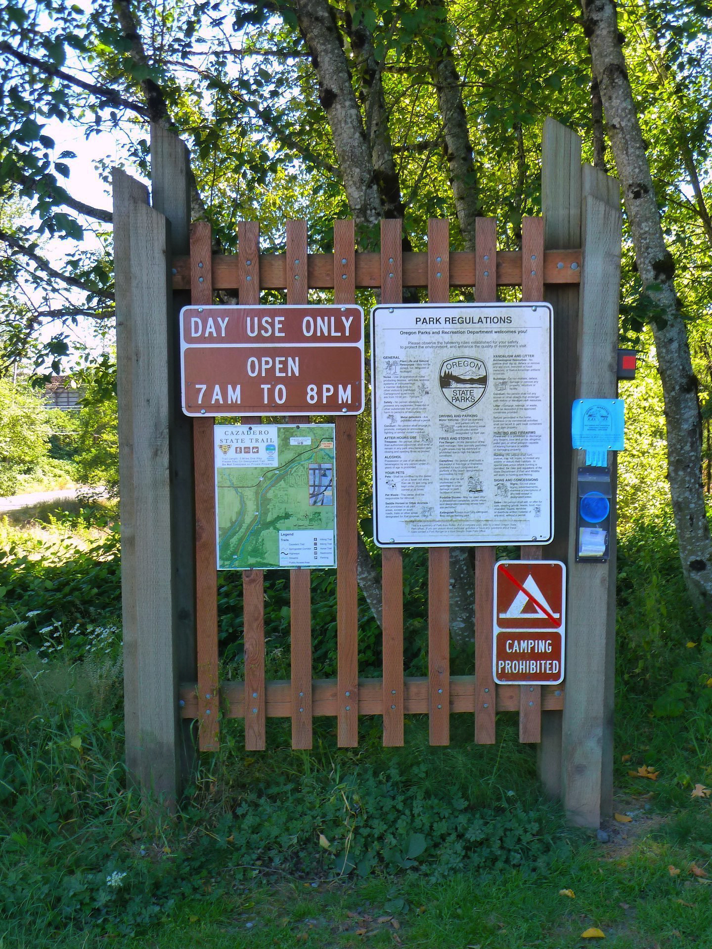
Map
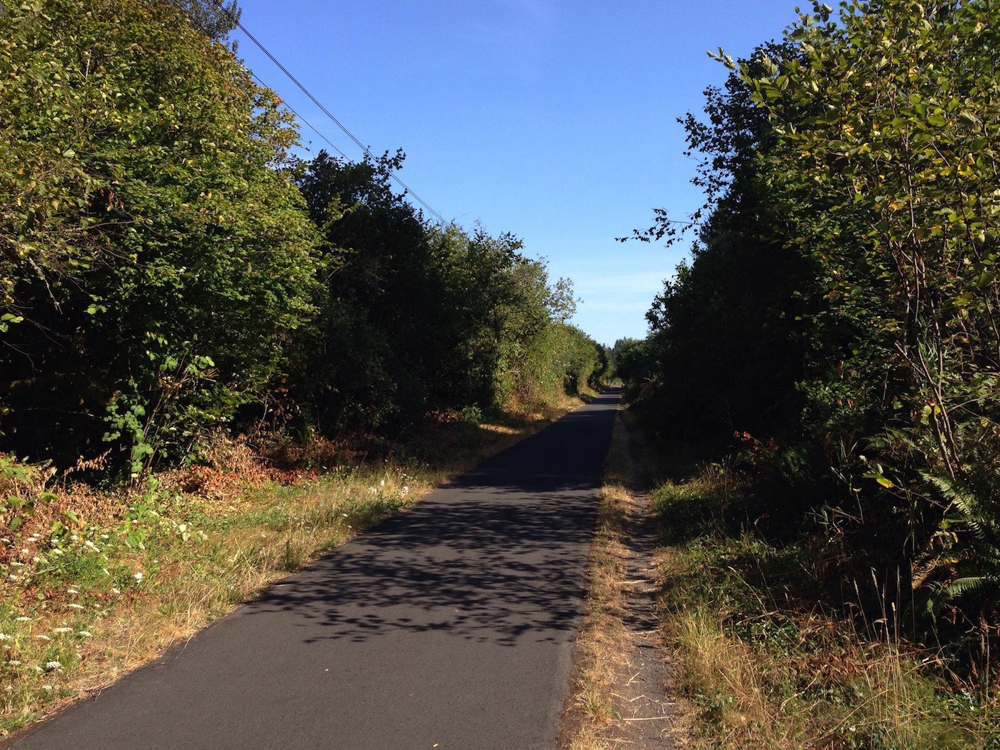
Cazadero Trail Segment
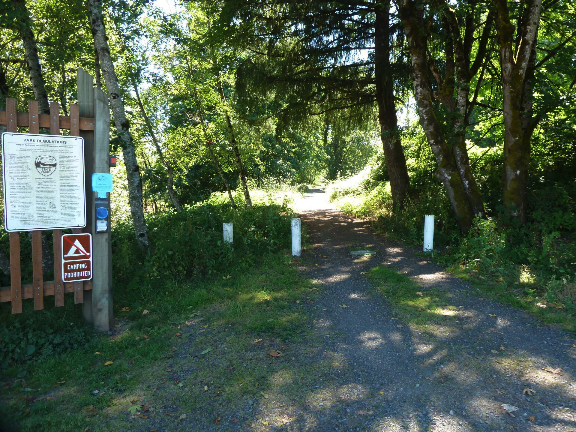
Oregon Parks and Recreation Department
Cazadero Trail
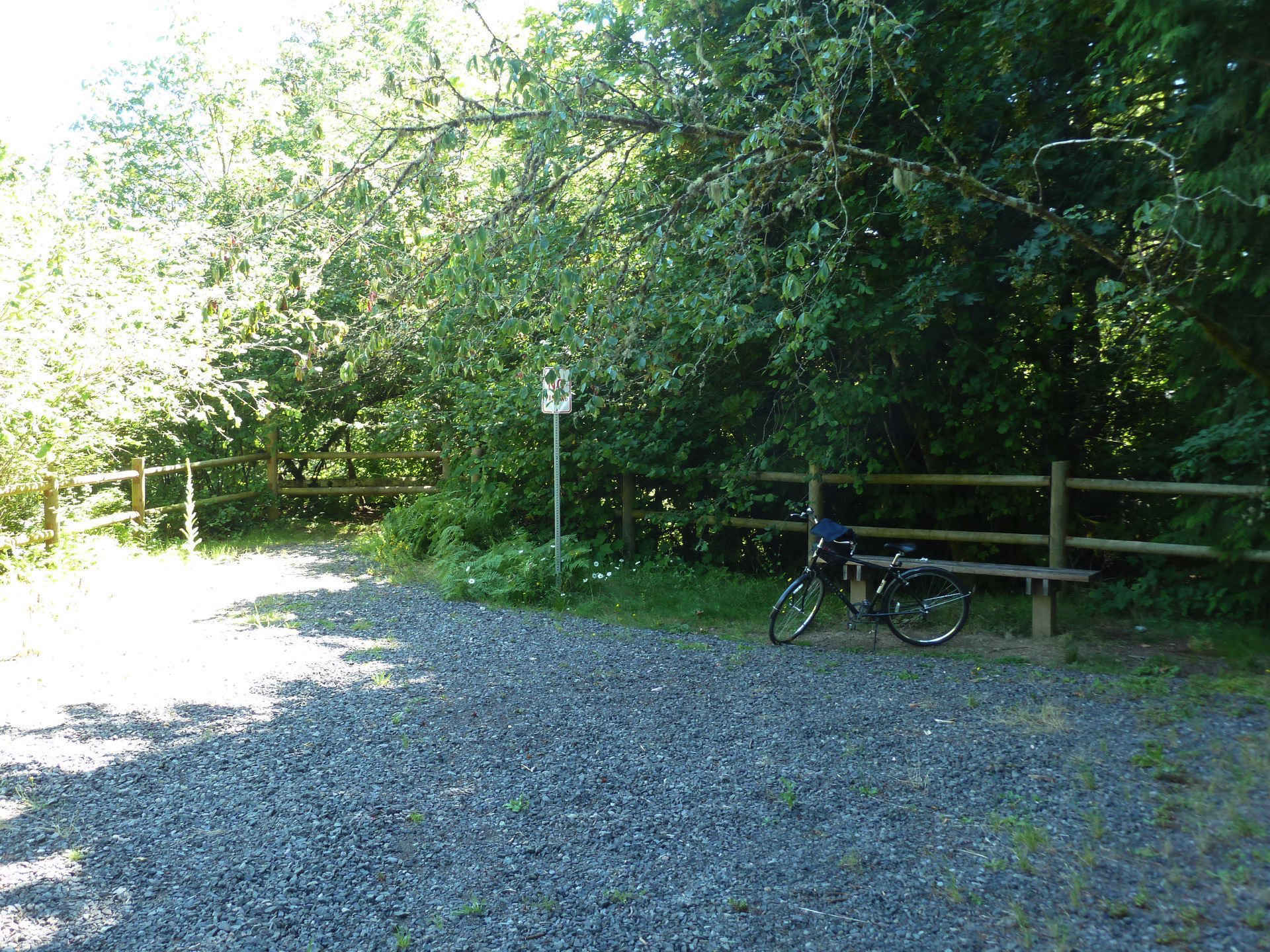
Rest, before heading back uphill for three miles
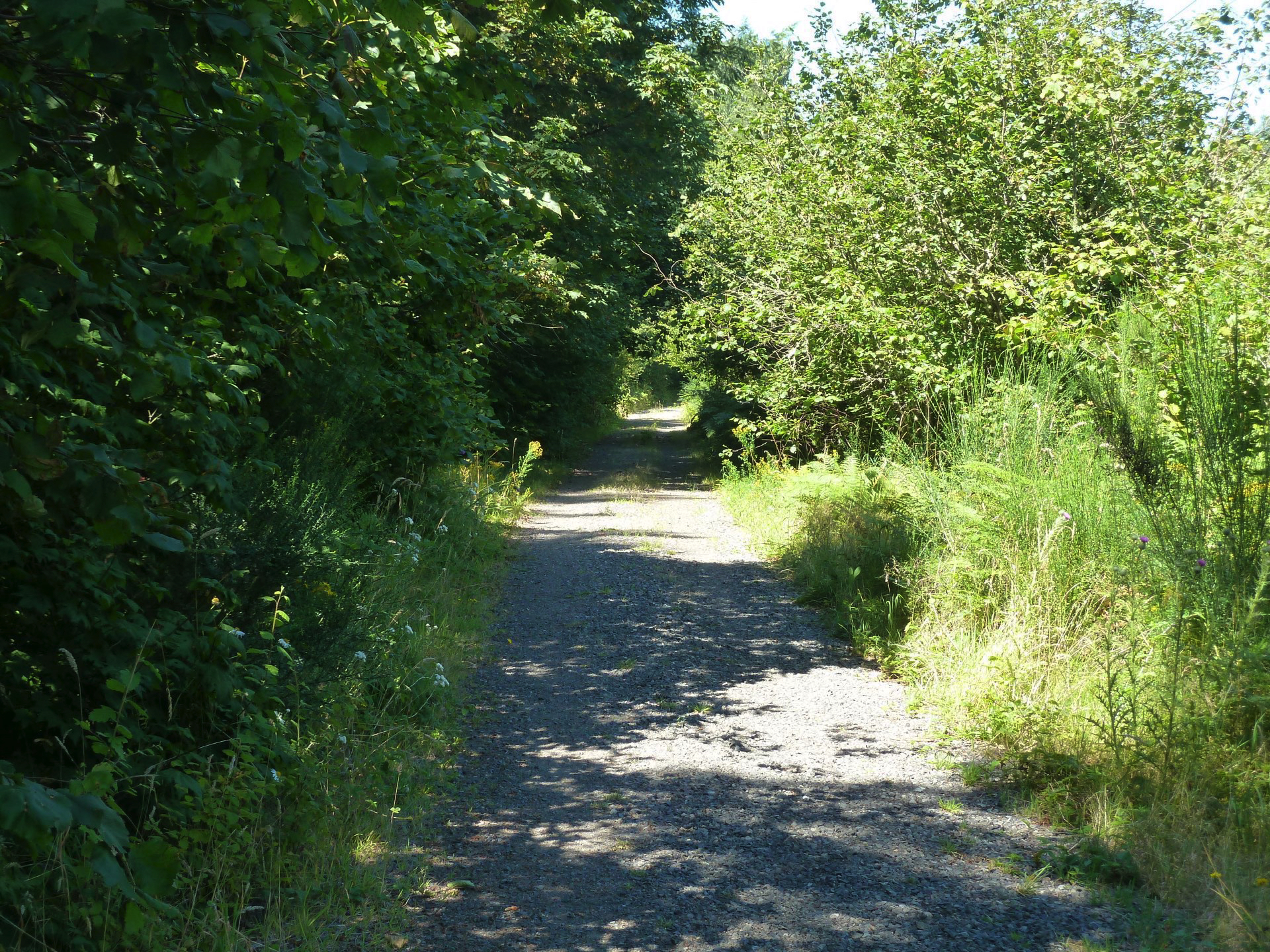
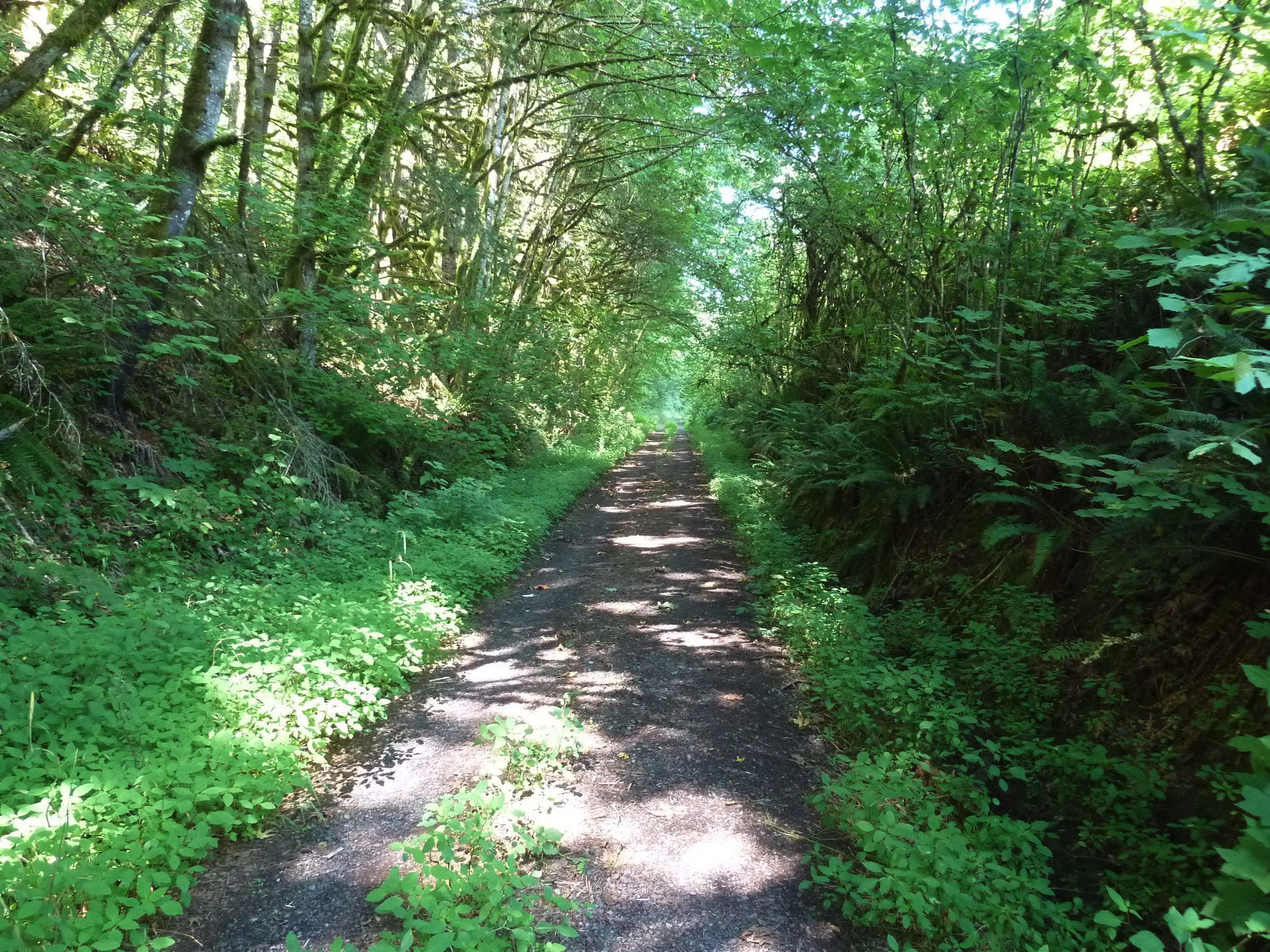
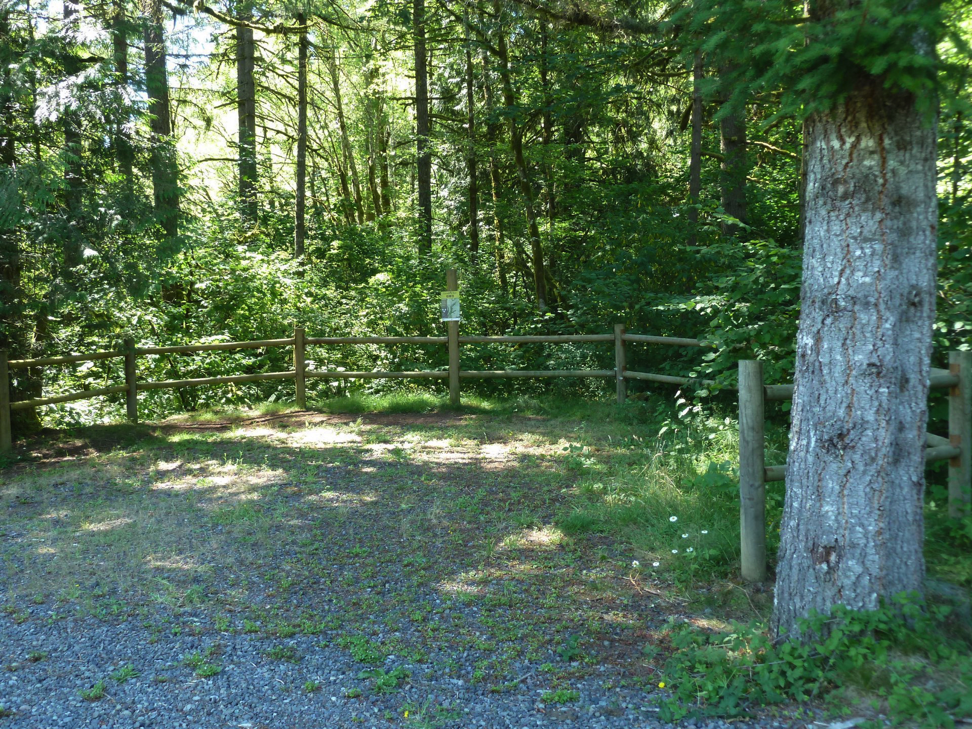
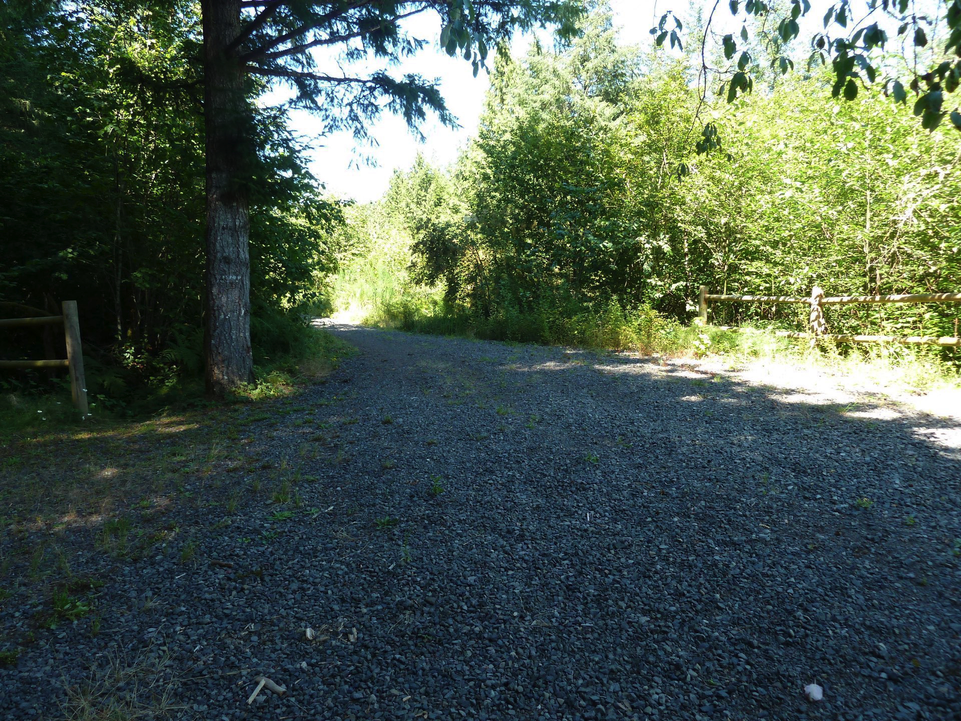
If you had hopes of continuing further south, along the Cazadero Trail to Estacada or Mt Hood, forget it. From Boring, yes, one can continue on a relentless downhill path of loose gravel to a dead end turnaround. Even finding the trailhead has its challenges and may be dangerous getting across highway 212 and crossing in front of the gas station.
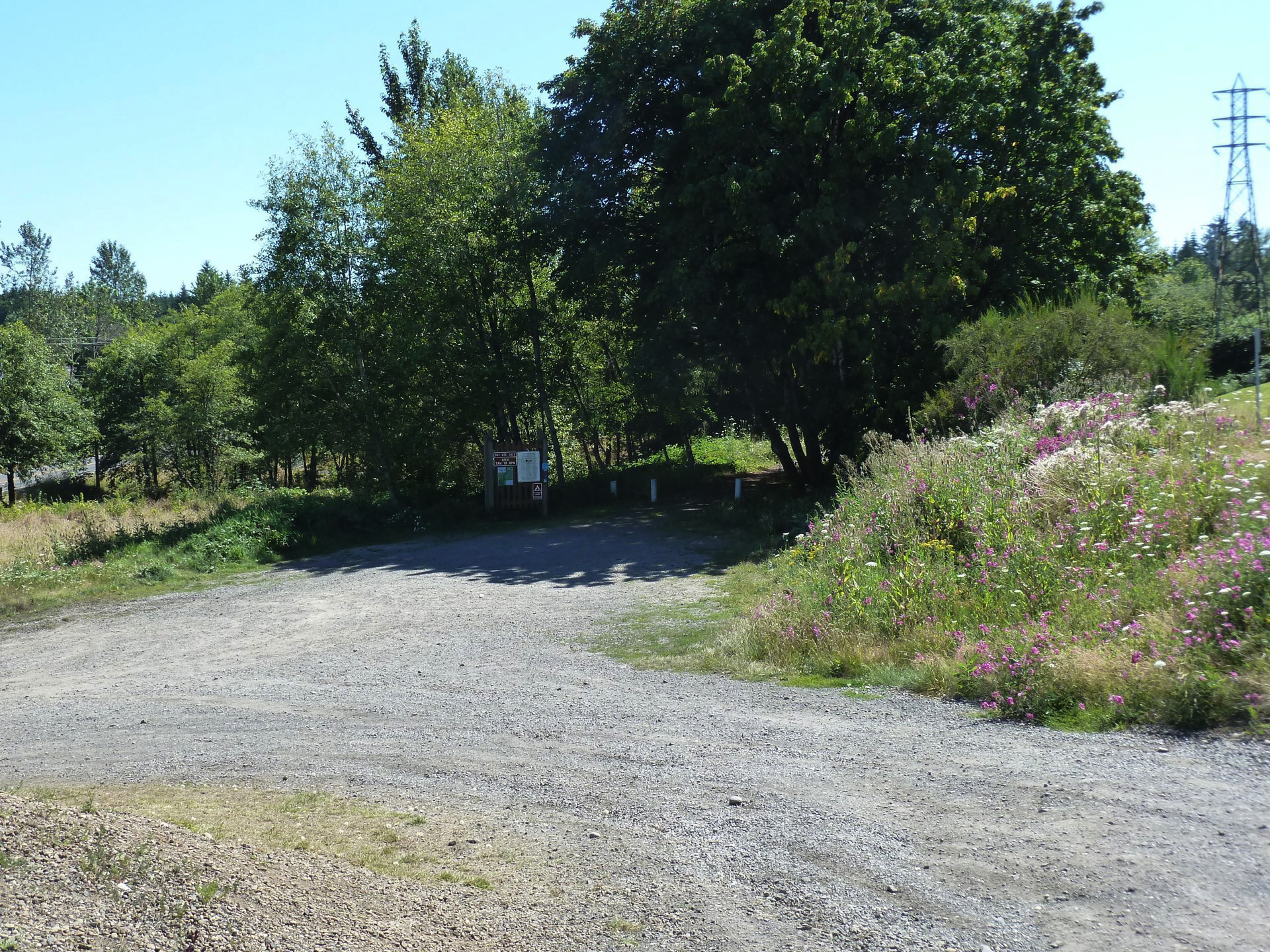
About a half mile farther south, another completed portion of the trail picks up at Bakers Ferry Road in Barton and runs 1.6 miles to end near Goose Creek, paralleling highway 224. Except for die-hard mountain bikers, willing to trespass and portage their bikes there is no known way to get from one to the other.
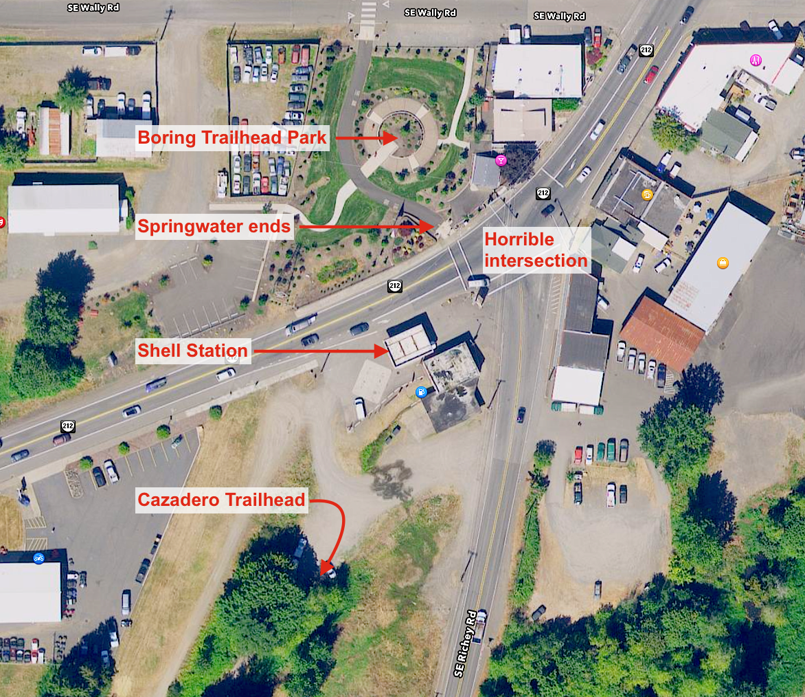
The weak link in just finding the trailhead is the lack of definition of hard surfaces. There are no sidewalks on the gas station side of the highway and no shoulders and no curb ramps. There is a walk light — phew!
Cut in front of the gas station and then head down the steep gravel driveway to the trailhead. Better yet, just enjoy the lovely park and forget going any further until somebody figures all this out.
Click image for larger version