
Video
Map
Tualatin River Water Trail
Tualatin Riverkeepers
Overview

View of the Tualatin River from the Cook Park area

Steep slope from the parking lot to the Farmington launch – compacted gravel

Launch area at Farmington – compacted gravel – large flat rocks to stand on – no dock

Sign at Cook Park – boat rentals – canoes & tandems $35 – singles & SUP $25 – 4 hr rental

Launch area at Cook Park – hard surface – drive down to water – wood walkway and dock with lip

Hwy 99W bridge over the Tualatin River – 1.7 miles from Cook Park launch – a common turnaround point

Rood Bridge: Drop-off area at boat launch – no accessible parking – closest accessible parking and restrooms at the River House

Rood Bridge launch installed Memorial Day through Labor Day – two boat slots – overhead rail to hold onto

Parking lot at the River House – accessible restroom and parking – road to boat launch
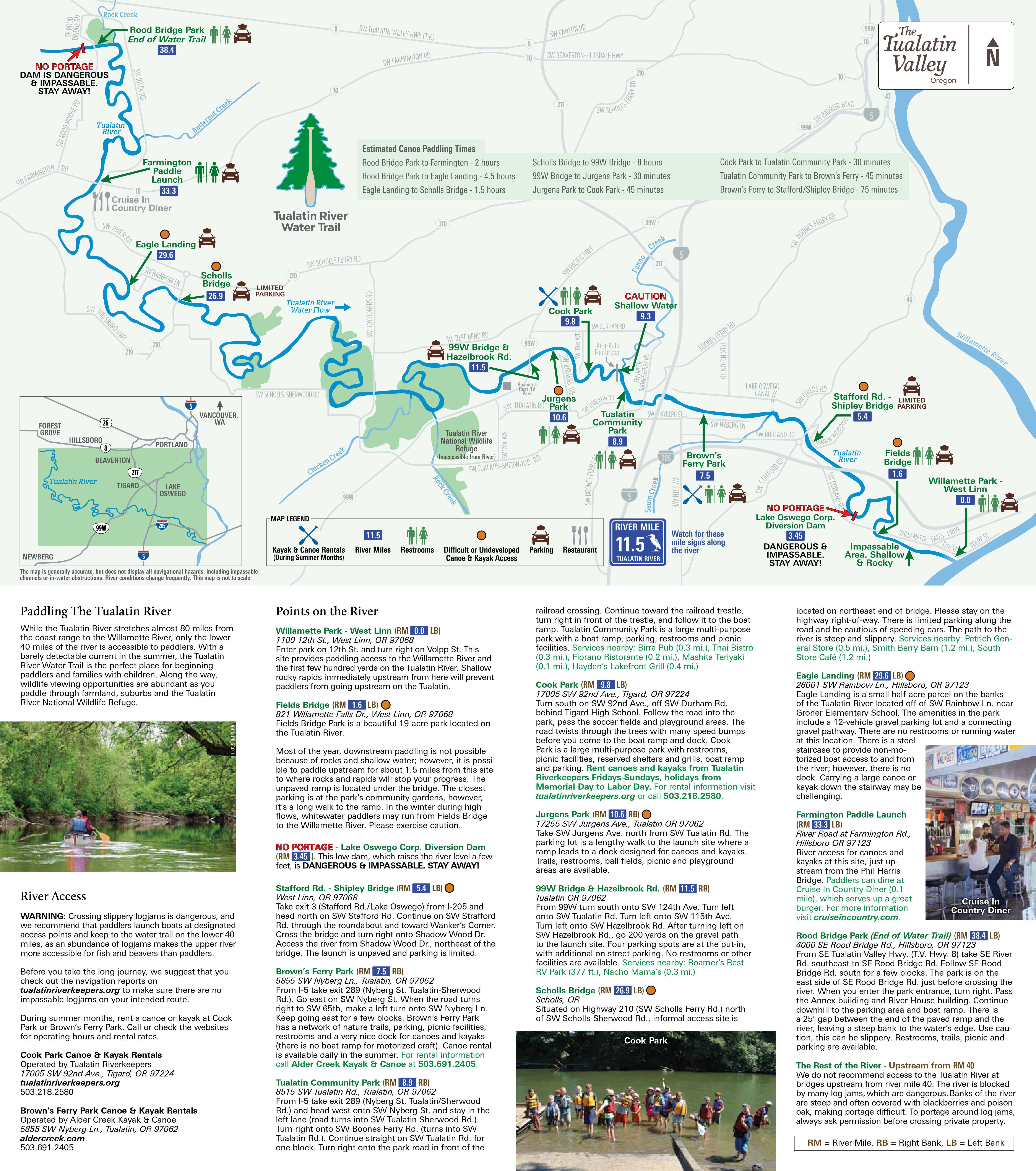
Click map image for larger map with descriptions of each landing
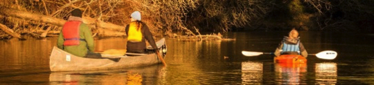
Photo from the Tualatin Riverkeepers website.