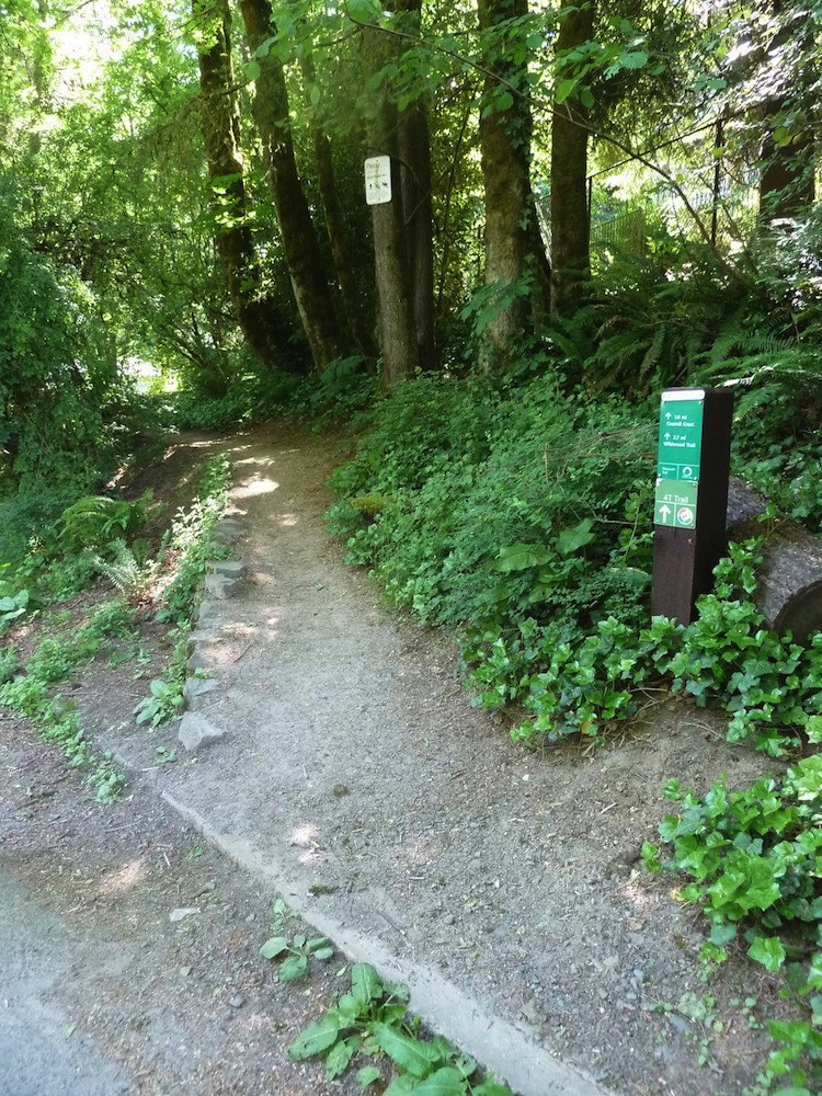
4T Trail Loop

SWTrails and various jurisdictions

T3 Trail downhill from Council Crest
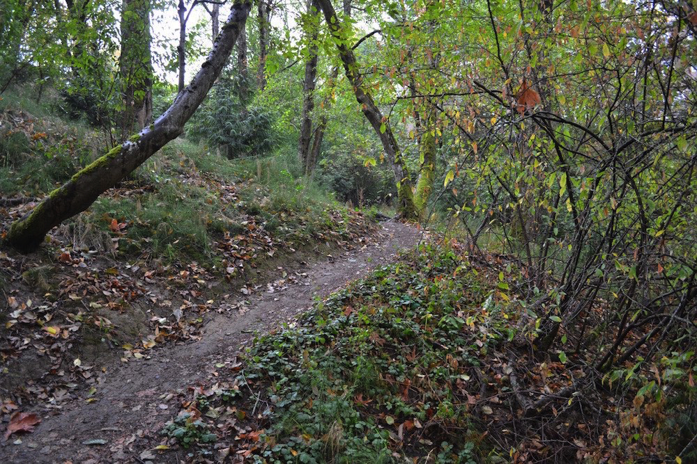
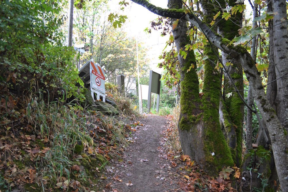
Coming down from Council Crest, start at the 4T sign on the east side...
...which starts off with some gentle steps that seem almost unnecessary
There the familiar trail marker directs us to the Marquam Shelter — 1.7 miles ahead
As with the uphill segment there are a number of places where the trail is smooth
Descents to the roads are rather steep, but also very broad, as at SW Greenway
...we quickly run into a great diversity of trail conditions...
...which may prove to be obstacles for some users...
...which will prove to be a problem for all users...
...which may prove to be obstacles for some users...
The Marquam Shelter can be reached by the Shelter Loop and offers a paved respite...
...with its slightly forlorn art wall reminding us of the importance of “tranquility”
But, there is 1/2 mile more of trail ahead — the Connor Trail is the more direct
But if one wants the workout of a final series of switchbacks, choose the Shelter Trail
Finally, the end of the Connor Trail takes us back to street level, but are we really “home free?" No way. Continued...
(placeholder)

T3 Trail from Council Crest down then up to OHSU

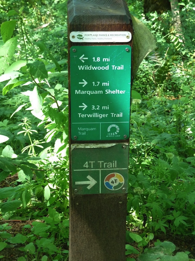
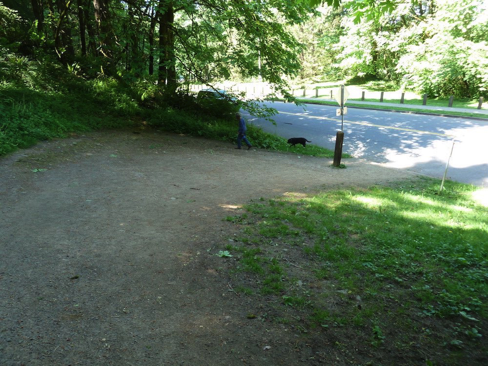
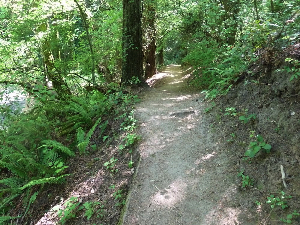
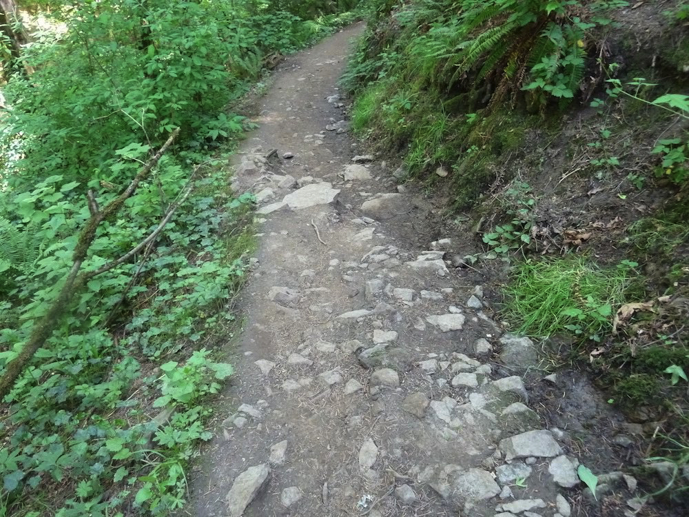
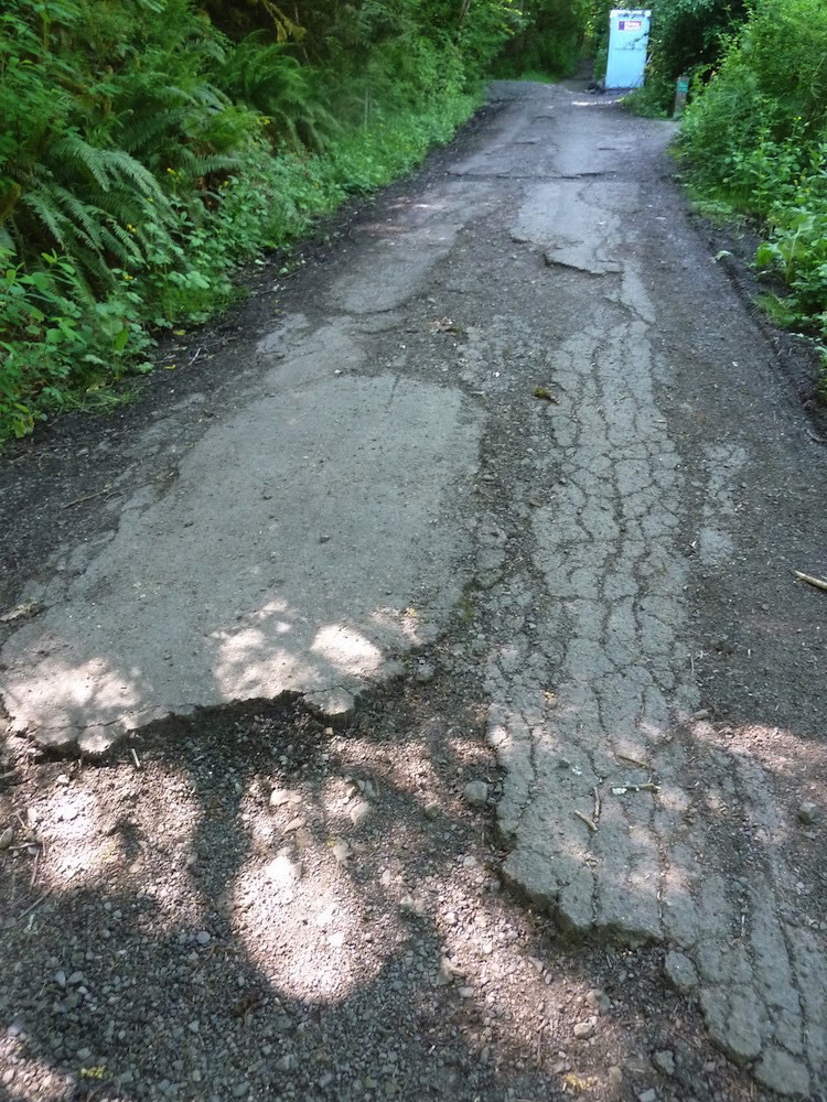
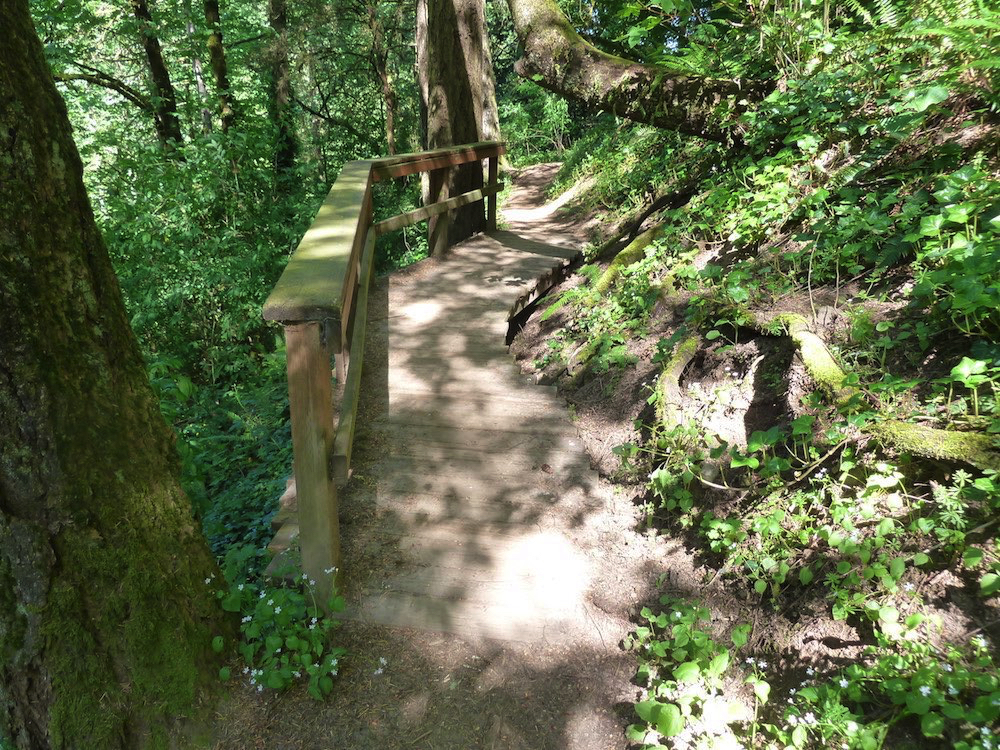
Okay, you’ve had your break, it’s time to move on — there’s another 1.7 miles to get to OHSU. Once again, there are a myriad of trail obstacles to many users, making the term easy stroll — as used by one reviewer — seem wishful and insensitive. This segment crosses three roads, but, unlike the intersections of the previous segment, these come as happy breathers.


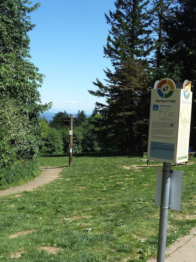
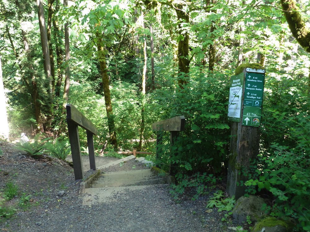
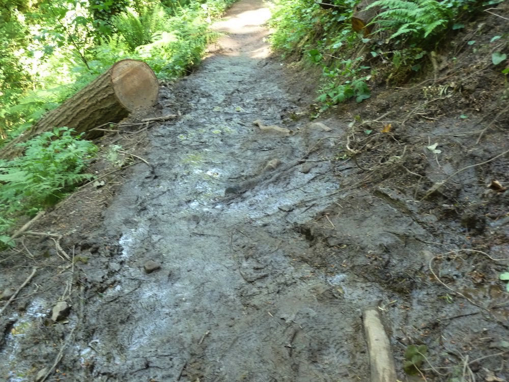
The 4T Trail map, to the right, indicates a dotted line, at the bottom, as an option to avoid going through Marquam Nature Park [which will be muddy in winter]; that route would include roadways with no shoulders or sidewalks. Beware!

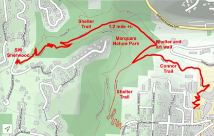
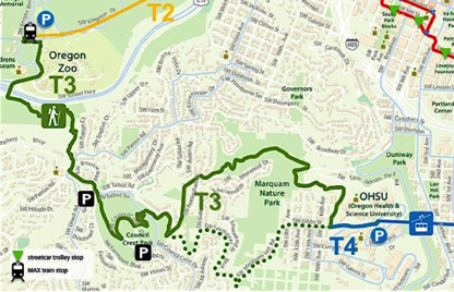
Click maps for larger maps

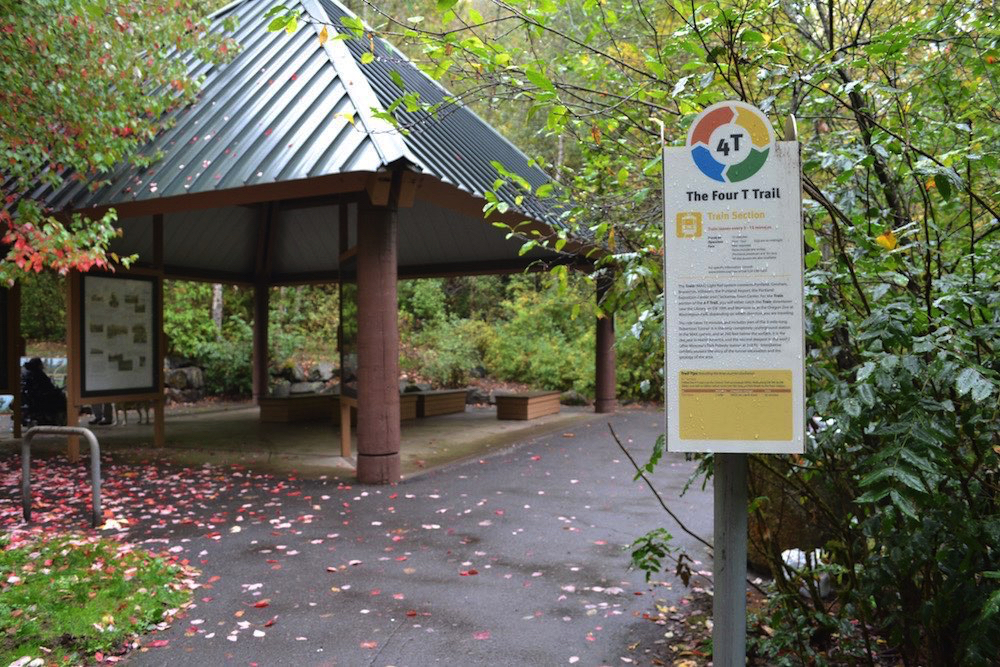
Enlarged area to show options through Marquam Nature Park from SW Sherwood to Gibbs. No segment is accessible the solid line shows the more direct route along the Connor Trail. Note that if the Tram is not operating one could exit the park at the Shelter and bypass the 1/2 mile uphill section.

On-street by-pass in case of muddy trails