Photo tours by topic
Overview
Location and Arrival
Amenities and Features
Trail characteristics
Signage and Wayfinding
Operations and Maintenance
Trail facts at a glance
Video
Map
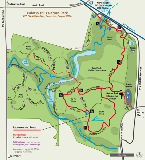
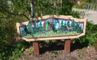
Tualatin Hills Nature Park is a remarkably diverse 222 acre wildlife preserve with wetlands, forests and streams that are habitat to insects, amphibians, reptiles, birds and mammals. The Tualatin Hills Nature Park is a wildlife preserve, so dogs and other pets are not allowed.
There are about 5 miles of trail; 1.5 miles of trails are paved, while the remaining 3.5 miles are well-maintained, natural surface trails. The Oak Trail and sections of the Vine Maple Trail are paved.
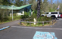
The AR Team focused on the paved Oak Trail and its accessibility by car from Millikan Way and by public transit, taking the MAX Blue Line, Merlo Rd/SW 158th Ave station. There are so few parks that can be reached by the MAX, it makes this park almost unique.
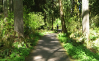
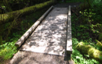
The Oak Trail travels through forests and wetlands. This paved trail transitions to three separate boardwalks with edge protection. These boardwalks may be slippery when wet. There are a few benches along the trail as well as viewpoints to rest and enjoy the scenery.
To add variety and length to your hike, a trail loop can be followed that junctions off the Oak Trail. Starting from the Vine Maple Trail this loop is a mixture of compacted gravel, natural surface and boardwalk. The Vine Maple Trail leads to the Elliot Trail, the Big Fir Trail and finishes with the Ponderosa Loop Trail.
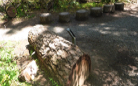
Near the Millikan Way parking lot entrance, the Tualatin Hills Nature Center has exhibits which include tactile displays. Staff at the center can answer your questions on programs or the flora and fauna in the park. There are accessible restrooms outside the nature center.
Tualatin Hills Nature Park
Tualatin Hills Park & Recreation District
Description
Name: Tualatin Hills Nature Park
Parks agency: Tualatin Hills Park & Recreation District
Contact: (503) 629-6350 or Park patrol (971) 246-0169
Location: 15655 SW Millikan Way, Beaverton, OR
Hours: Dawn to dusk
Public transit: MAX Blue Line, Merlo Rd/SW 158th Ave station; Bus 67, just north of MAX station; Bus 57, 1/2 mile to the south of VC
Length: 1.5 miles of paved trails, 3.5 miles natural surface trails, [paved Oak Trail = .75 miles]
How difficult do we consider it: Easy to moderate
Date of last visit: August 18, 2021
Note: The nature center is currently closed, aside from educational programs, due to Covid-19.
Note: There is ongoing construction on the Vine Maple Trail and Oak Trail with a target end-date of Fall 2022. Check the agency website for details.
l
Click map image for larger map

