
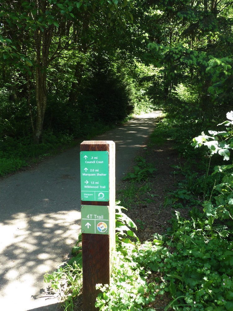
4T Trail Loop
SWTrails and various jurisdictions
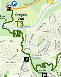
T3 Trail uphill to Council Crest
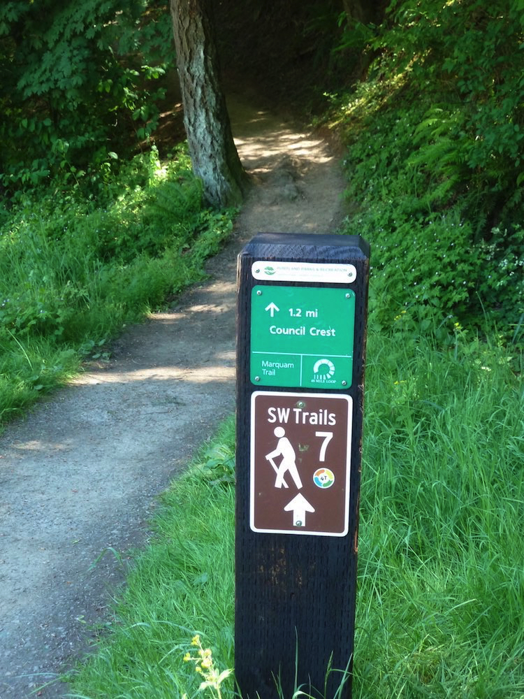


T3 Trail from Oregon Zoo up to Council Crest
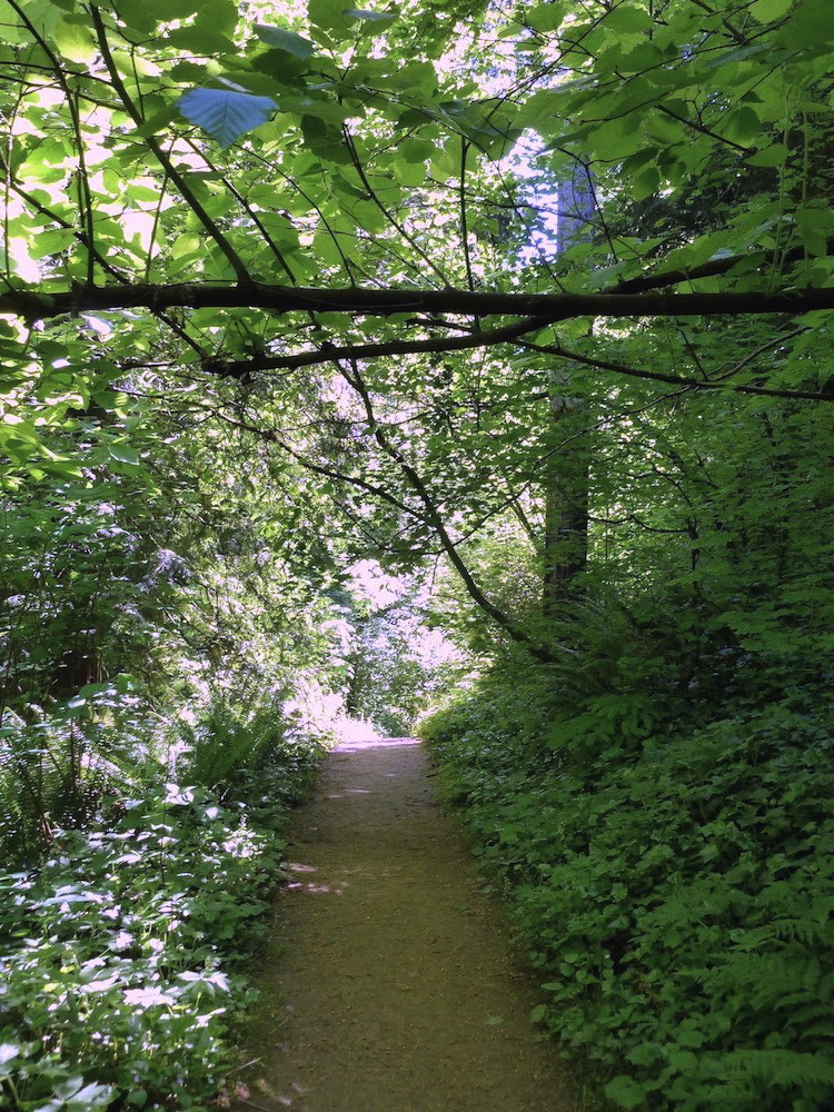
Congratulations! Now that you have found the beginning of the hiking trail — a 1.2 mile section of the Marquam Trail — it’s all uphill from here.
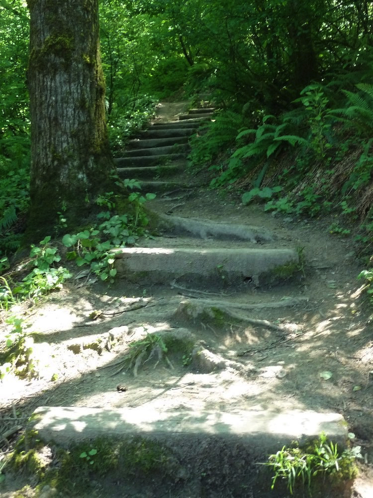
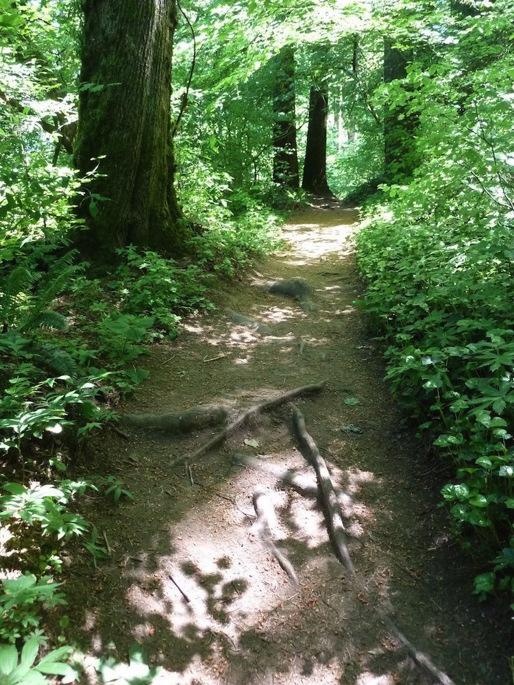
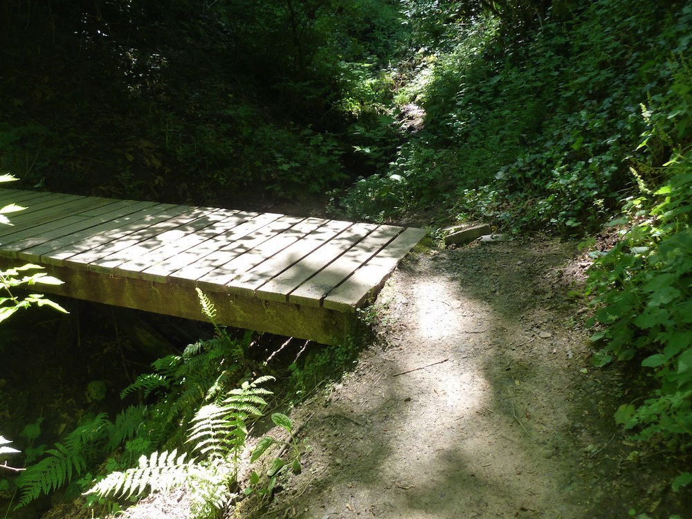
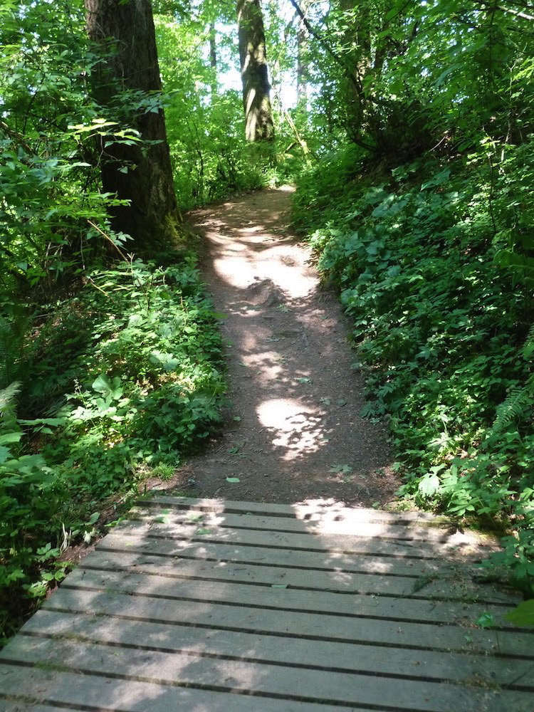
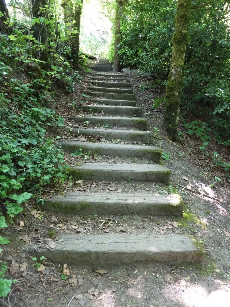
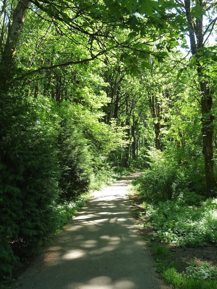
This trail immediately provides an encyclopedia of what can be considered trail obstacles to many users, making the terms easy and even moderate — as used by some reviewers — seem laughable and outright insensitive.
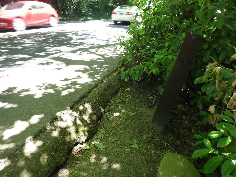
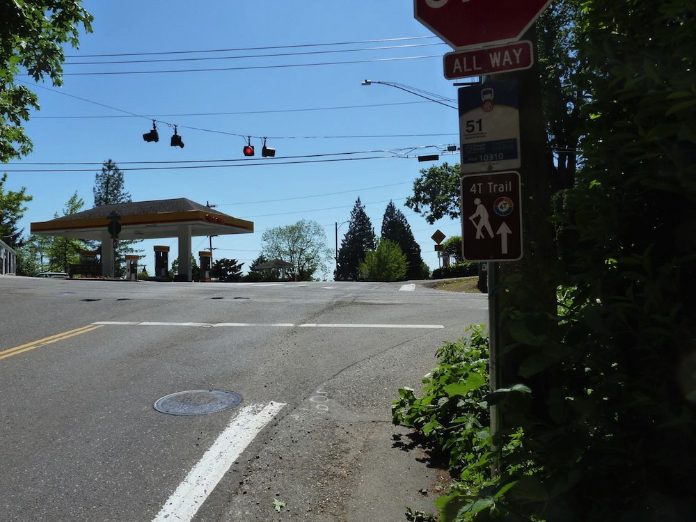
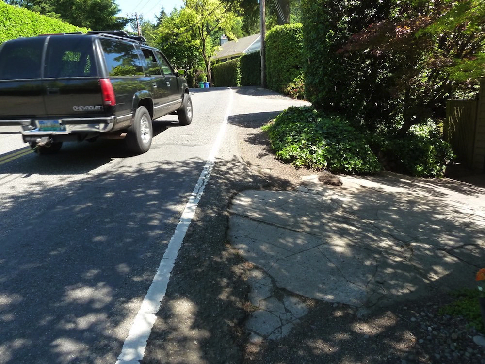
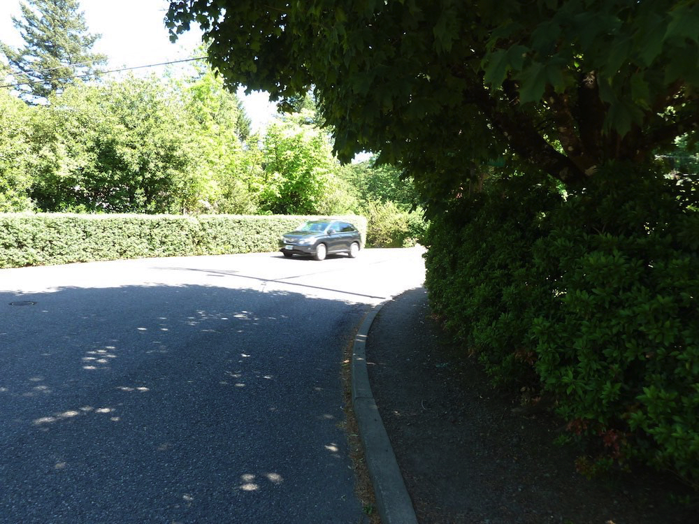
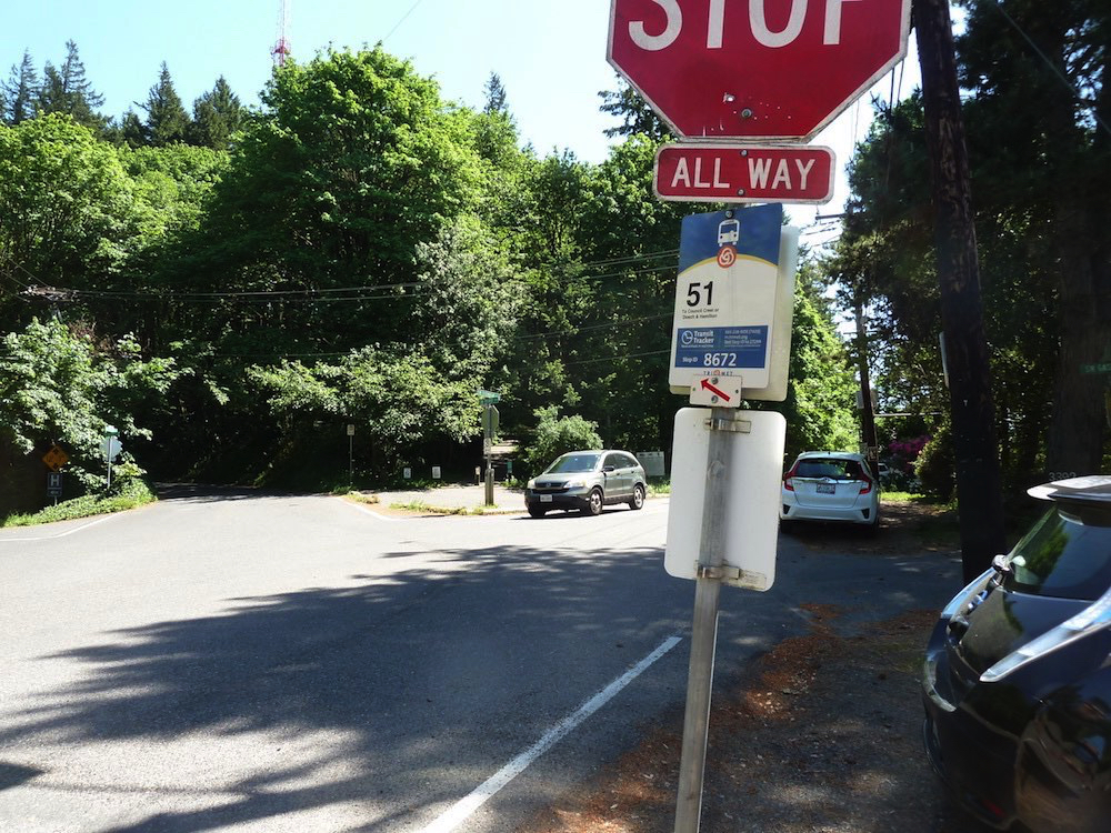
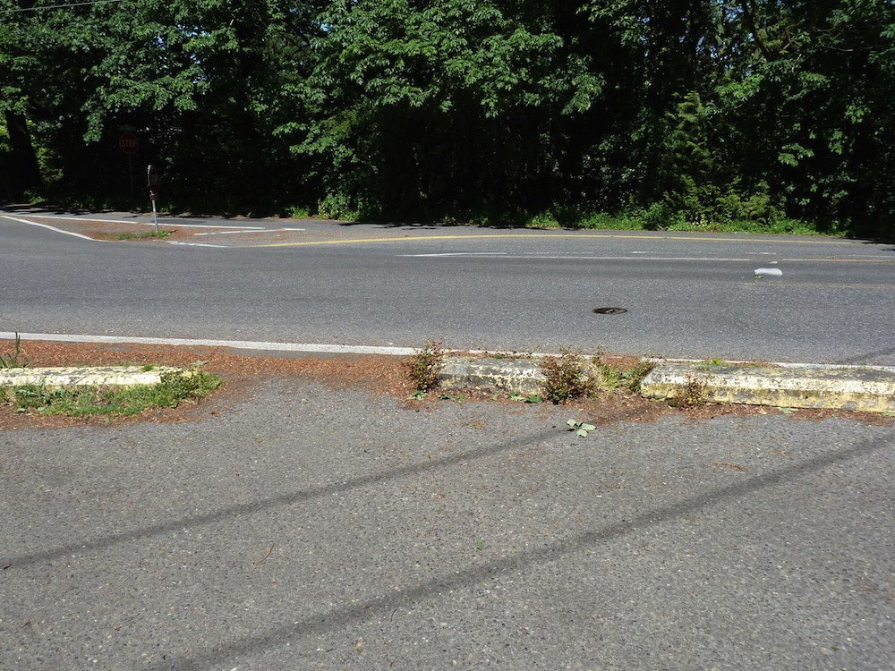
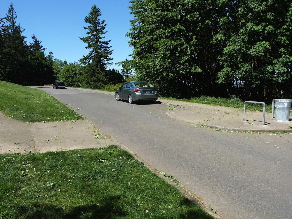
After about 1/2 mile one leaves the trail for about 1,000 feet to negotiate two intersections, even requiring to hike in the road for a short distance — extreme caution — see detail map to the right. But once we arrive at Council Crest, the sense of open space and views are their own reward.
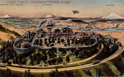
Move over Las Vegas, Council Crest Amusement Park was the early 20th century answer to “why do people climb mountains?” To ride the roller coaster of course! Or, the Columbia Gorge, a paddle-wheeler on top of the mountain with its own waterway.
Click maps for larger maps
Check out the PDXHistory website for additional information.
Click image for more information about Council Crest
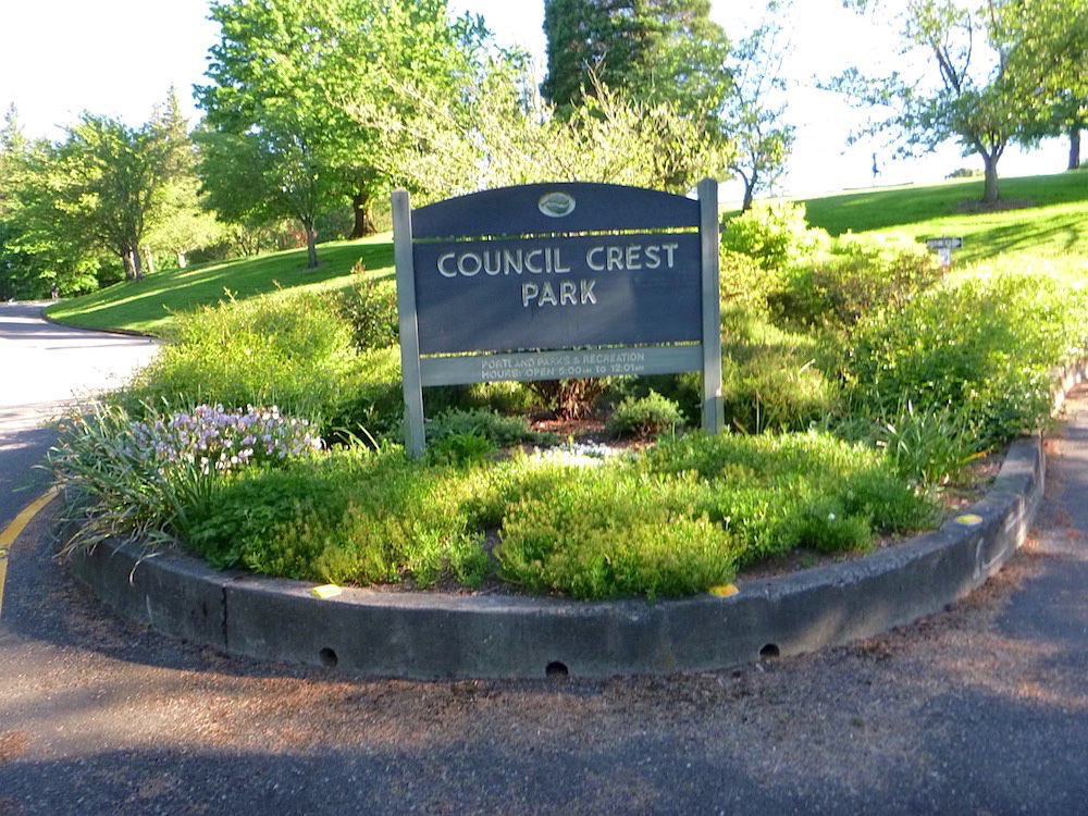
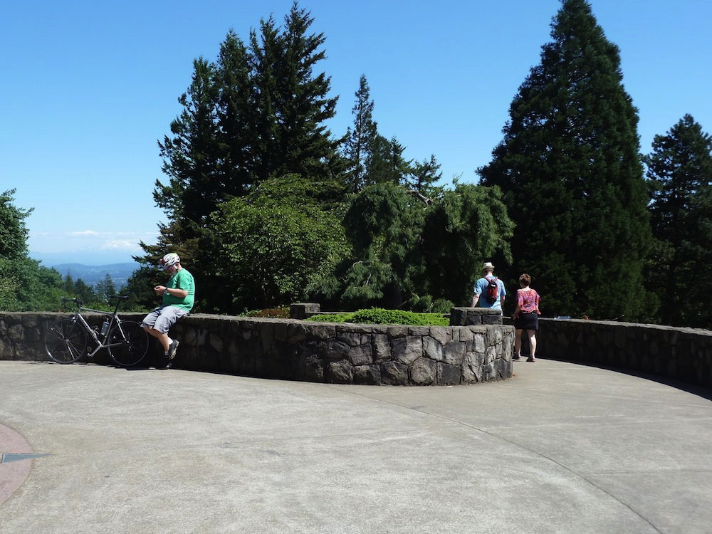
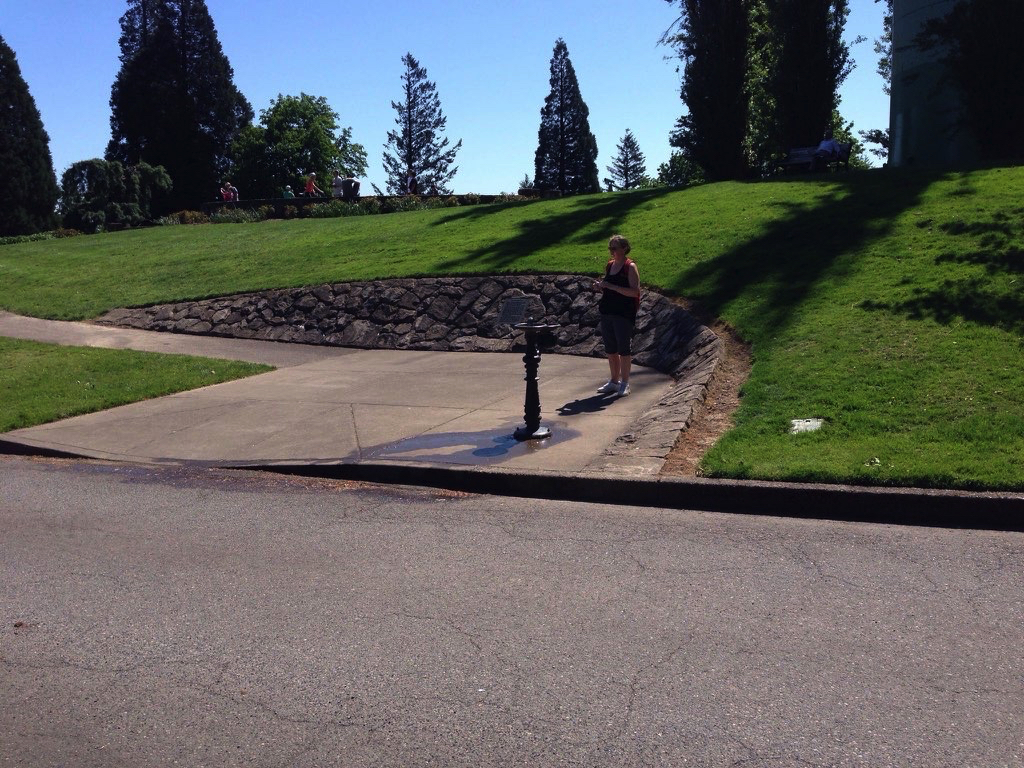
Yes! We've arrived at Council Crest
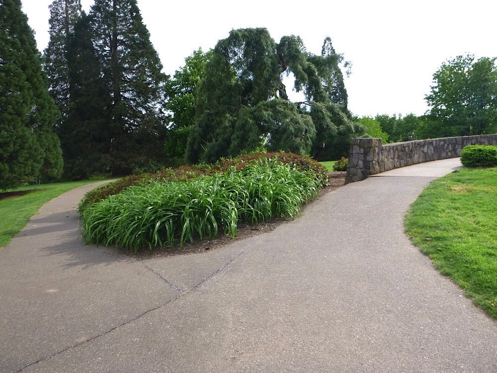
The final leg: Fairmount to Council Crest
Negotiating the two road intersections
The first leg from the zoo to the intersection
Negotiating the intersections

